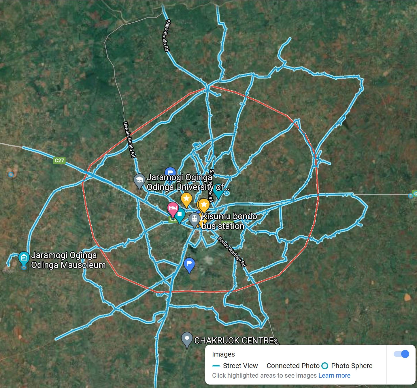
What is Google Street View?
Street View, by Google Maps, is a virtual representation of our surroundings on Google Maps, consisting of millions of panoramic images. Street View's content comes from two sources - Google and contributors. Through these collective efforts, people everywhere are able to virtually explore the world.
It is a technology featured in Google Maps and Google Earth that provides interactive panoramas from positions along many streets in the world. It was launched in 2007 in several cities in the United States, and has since expanded to include cities and rural areas worldwide. Streets with Street View imagery available are shown as blue lines on Google Maps.
.
Authors Profile
The Author, Joseph Onyango (QuantiSCale) is a Local Guide Level 10, and a Google Street View Trusted Photographer with over 35 million views on Google Maps/Street View.

